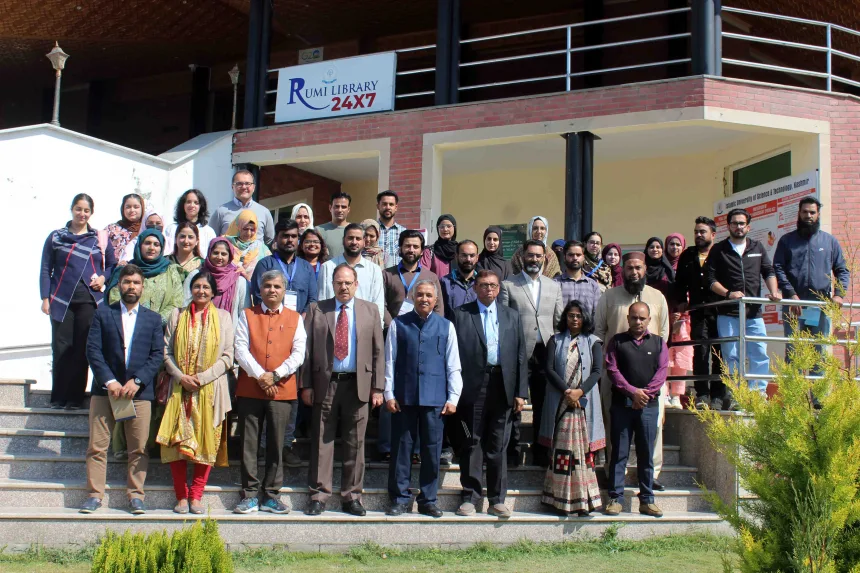
The two-day International Conference on “Mapping the Future of Sustainable Landscapes: Geospatial Innovations for People, Places, and Practices” concluded at the Islamic University of Science and Technology (IUST) with a valedictory session.
According to a statement issued here, organised by the Department of Land and Geomatics Engineering, IUST, in collaboration with ICWG V/IV of the International Society for Photogrammetry and Remote Sensing (ISPRS), the event brought together scientists, academicians, policymakers, and professionals from India and abroad to explore the role of geospatial technologies in achieving sustainable development goals.
Prof. Shakil A. Romshoo, Vice Chancellor, emphasised the role of geospatial tools in understanding climate impacts and managing resources in sensitive ecosystems like the Himalayas. In her address Prof. Anjana Vyas, Chair, ICWG V/IV, ISPRS, highlighted the integration of geospatial data, remote sensing, and participatory mapping for resilient and inclusive landscape planning.
Dr. Salvatore Amaduzzi from the University of Udine, Italy, delivered a special address on recent advancements in geospatial technologies and their applications in landscape management, environmental monitoring, and precision agriculture.
In his opening remarks, Prof. Abdul Wahid, Registrar, IUST, appreciated the organising committee and emphasised the importance of such platforms.